Raven LiDAR + Insta360 capture in progress. Full immersive well documentation coming soon — inspect every component from your browser.
Optical Gas Imaging camera survey footage. Detecting and quantifying methane emissions at this well location.
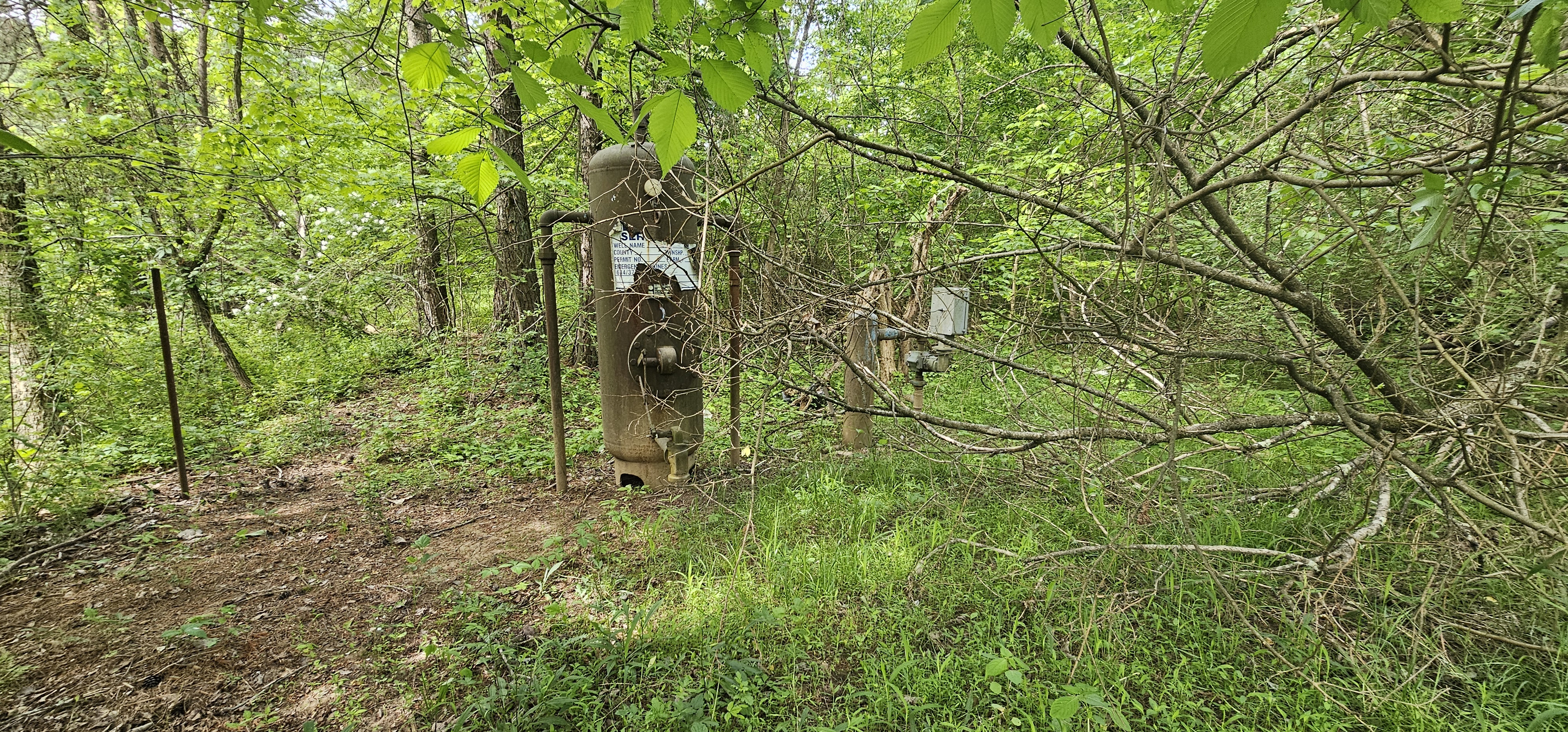
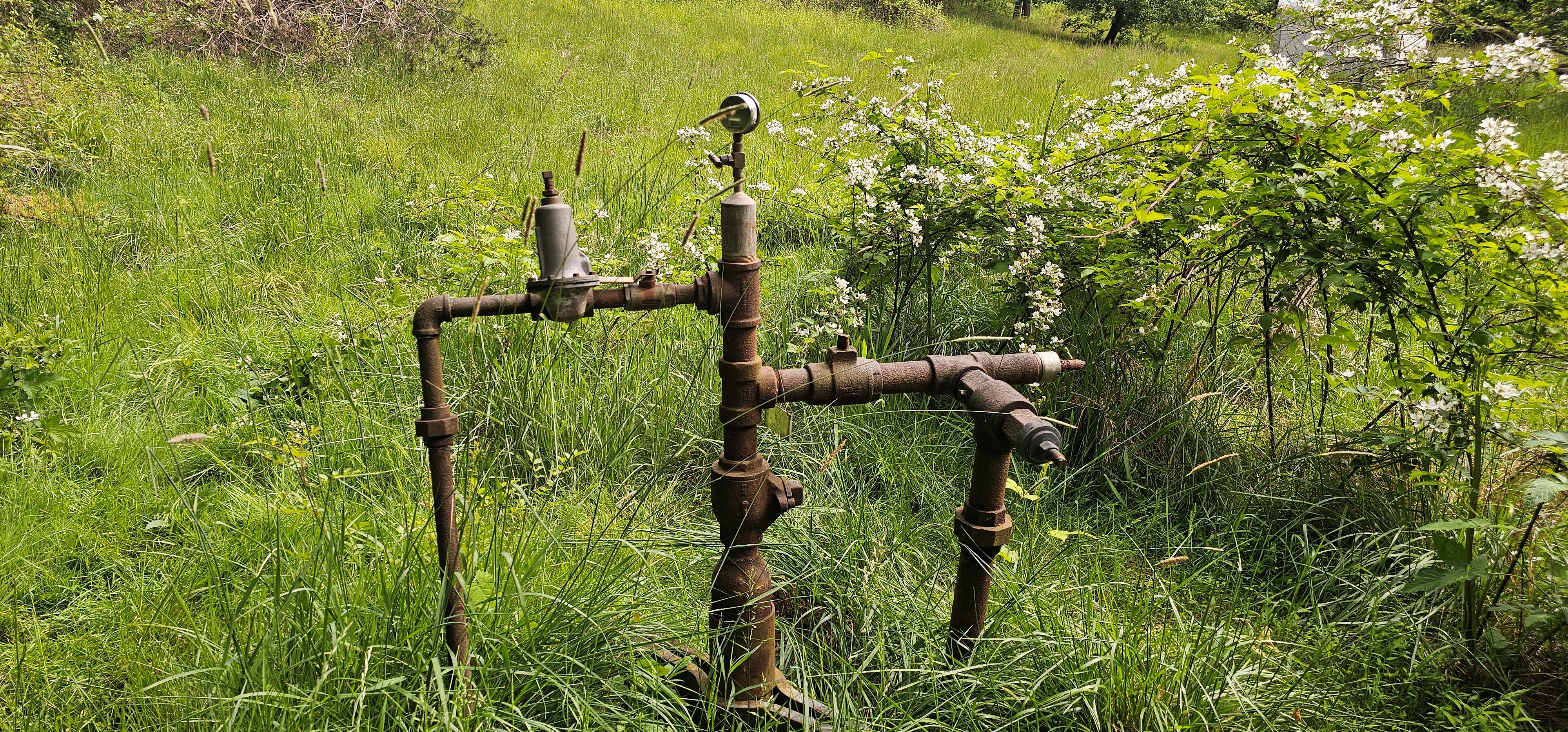
Meigs County, OH — Appalachian Basin. This is an active marginal oil and gas well in the Appalachian Basin, operated under the Iron Root Development methane abatement program.
Methane emissions from this well are directly measured using the BCarbon protocol — the most rigorous direct-measurement standard for Appalachian marginal wells. CO2e values represent verified annual abatement potential with no industry averages or estimated leak factors applied.
All credits from this well are registered and retired on the BCarbon platform. Each purchased ton corresponds to a specific, documented measurement event at this wellhead.